Geospatial Innovation Program
At Washington College, maps do more than tell us where we are—they help shape where we're going. The Geospatial Innovation Program (GIP), uses maps, data, and technology to support stronger, more informed communities both locally and globally. Our work combines research, education, and collaboration to solve real problems and prepare the next generation of changemakers.
Whether you're a student looking to apply geospatial tools to issues you care about, a faculty member seeking research support, or a partner organization in need of smart, data-driven solutions, GIP connects people, projects, and purpose through the power of place.
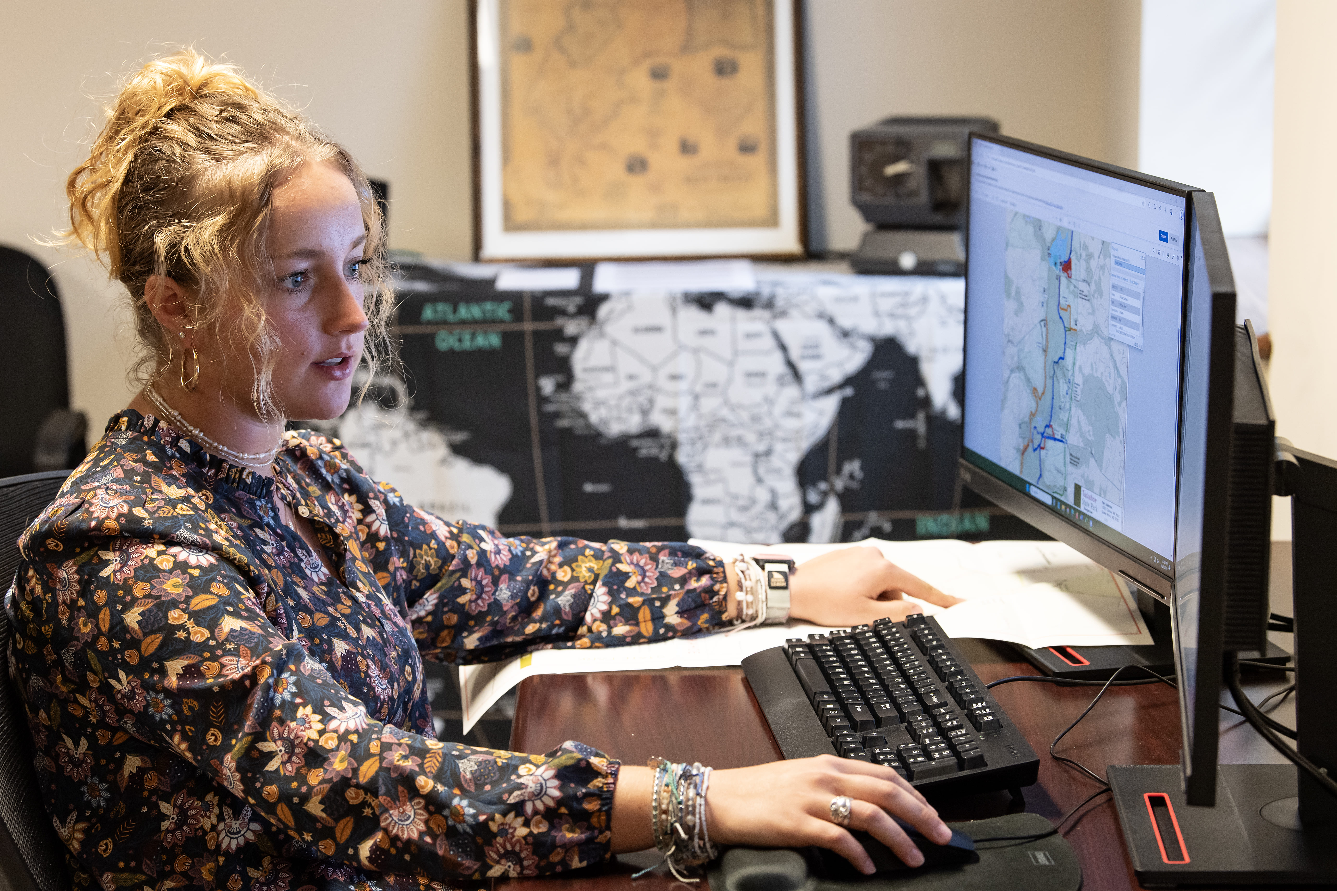
GIS, or Geographic Information Systems, is a powerful technology for capturing, analyzing, and visualizing spatial data. It helps us understand where things happen and why it matters. Whether you're mapping climate change, uncovering historical landscapes, tracking public health trends, exploring cultural patterns, or designing smarter communities, GIS turns data into insight and insight into action. One of the fastest growing and more versatile fields out there, GIS is transforming how we understand and shape the world. It's more than a technology, it's a way of thinking.
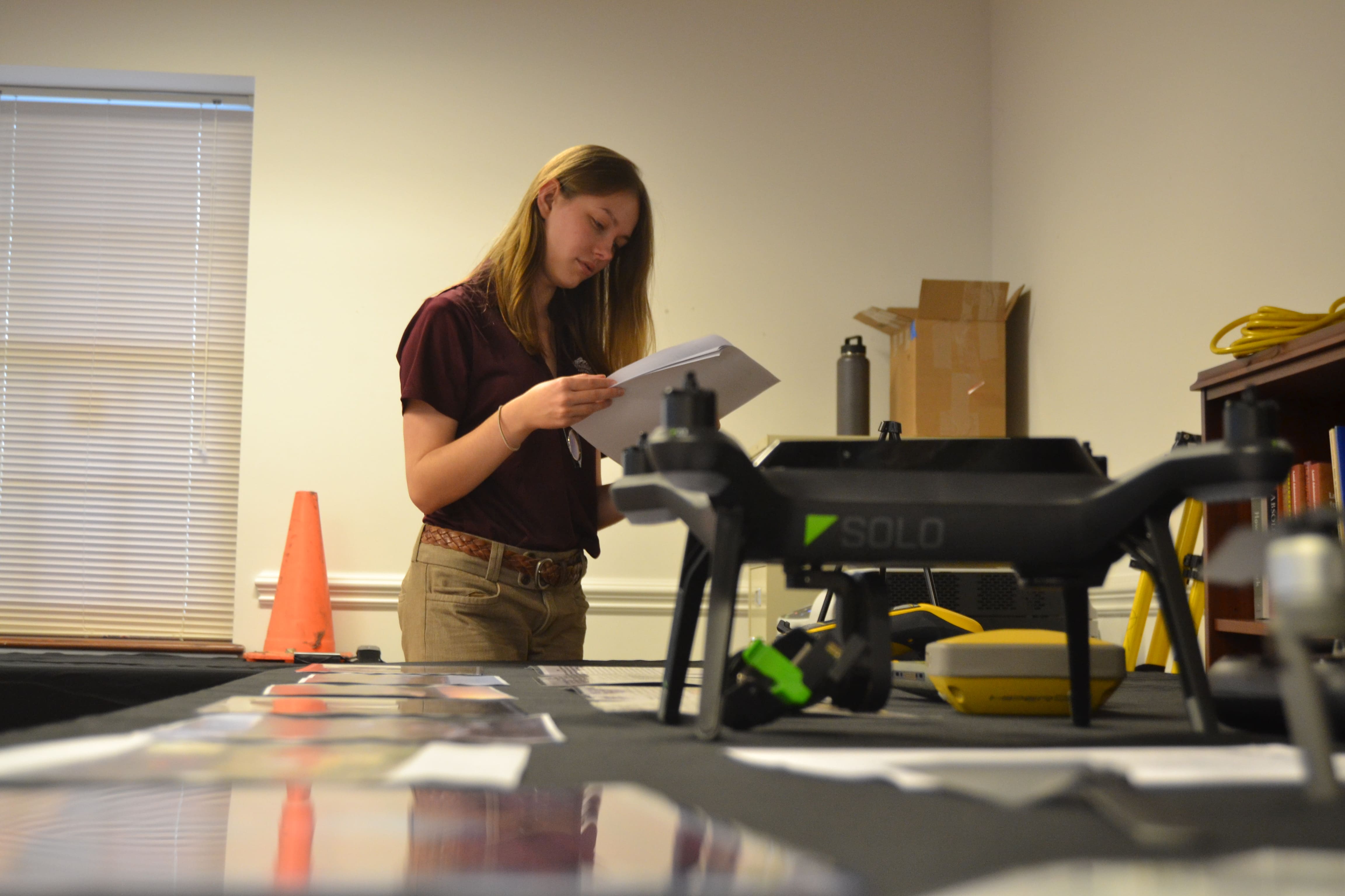
At Washington College, students in any major can harness the power of place to reveal patterns, solve problems, and drive change. GIP offers a range of internships, making our students essential parts of our team. Offered year-round, our internships give students hands-on experience working side-by-side with GIS professionals on projects that make a difference in communities across Maryland and beyond.

- 410-810-5027
- gis@washcoll.edu
- 210 S Cross Street, Suite 201, Chestertown, MD 21620
- 410-810-5027
- gis@washcoll.edu
- 210 S Cross Street, Suite 201, Chestertown, MD 21620
Learn More
Partnerships
We collaborate with nonprofits, local governments and state agencies looking for impactful, cost-effective geospatial support.
Opportunities
Explore hands-on internships, interdisciplinary projects, and how spatial thinking can shape your career.
Make a Gift
Support the next generation of geospatial leaders and the work we do in our local community.