
Maps & Applications


The GIS Program works on a variety of different maps & applications. Continue to check the site out to see updates and additional examples added.

arcportal

ArcPortal 

Staff/Students utilize and manage an ArcGIS Enterprise environment to develop maps, web application, and dashboards used for research and deliverable products.
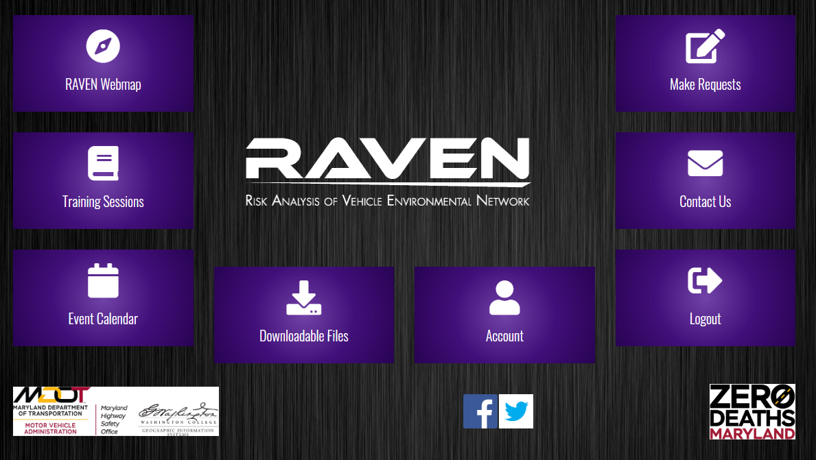
raven

Risk Analysis Vehicle Environmental Network

RAVEN is a resource for law enforcement, traffic-safety, and injury-prevention professionals. Easily analyze crash and E-TIX trends and spatial statistics for your local area. The map's layers correlate with High Visibility Enforcement (HVE) campaigns that target dangerous behaviors such as aggressive, impaired, and distracted driving, and lack of restraint use.

This free web application displays and analyzes crash and electronic citation data (E-TIX) for every Maryland jurisdiction. Maryland Highway Safety Office approve all new account. 

Dashboard Link