News from the GIS Program
8th Grade Class Visit
March 22, 2024
The GIS Program was thrilled to welcome an 8th grade science class from the Chestertown Christian Academy. Together, we talked about how to recognize "good" data, and how to visualize that data on a map. To see this process in action, we created a data collection survey and used ArcGIS Field Maps to collect data points outside around downtown Chestertown.
Washington College Students Return to GIS Program
January 29, 2024
The GIS Program is happy to welcome back our student interns for the spring semester! We have 10 interns this spring working in the GIS lab on our various grants and contracts. Our student interns gain valuable experience working on real-world projects for our funders, exemplifying Washington College’s mission to provide experiential learning to its students. We’re looking forward to a great semester with our amazing students!
New Project: Chestertown Trees Data Collection
January 26, 2024
The GIS Program is excited to work with the Chestertown Tree Committee to create and employ a data collection survey for all trees in Chestertown. Tracking trees will show where there are gaps in tree coverage in town, and where sick and injured trees need to be tended.
Visit from Main Street Chestertown
January 25, 2024
Main Street Chestertown visited the GIS Program to talk about how the GIS Program can assist with their mission. We discussed Main Street Chestertown’s goals for revitalizing the downtown area and creating a robust experience for tourists visiting the historic district. We look forward to continued talks with Main Street Chestertown as this process progresses.
Washington College and Amrita University's Joint Initiative Advances in USAID Partnership Program
January 25, 2024
Washington College's Center for Environment and Society, along with its GIS Program, is proud to announce its successful collaboration with Amrita University (India) in advancing to the next stage of USAID's Higher Education Partnership for Disaster Resilient Infrastructure (HEP-DRI). This joint initiative, "Resilient Infrastructure and Sustainability Education (RISE)," is part of a larger collaborative effort involving multiple prestigious U.S. and Indian academic and industry partners. The collaboration underscores a commitment to international cooperation in disaster-resilient infrastructure education and professional development. The team eagerly anticipates the upcoming February 1, 2024, presentation to showcase their comprehensive and innovative approach in this vital domain.

GIS Campus Map Presentation for Senior Staff
January 17, 2024
Things are steadily moving forward on the new campus web map! Madison Kaye and Tarek Rashed presented the current draft of the campus web map to Washington College senior staff who were very pleased with the map and excited for what possibilities a geospatial campus could provide Washington College. The campus map will be a great resource for students, families, alumni, and other visitors to Washington College and takes a step forward in making the campus more accessible.
The campus map extends into a collaboration between the GIS Program and Kent County with Next Generation 911. This is a nationwide initiative for counties to be in line with emergency service guidelines. The GIS Program and Kent County are working together to update campus road names and address numbers for emergency services to be able to efficiently navigate the campus to respond to an emergency.
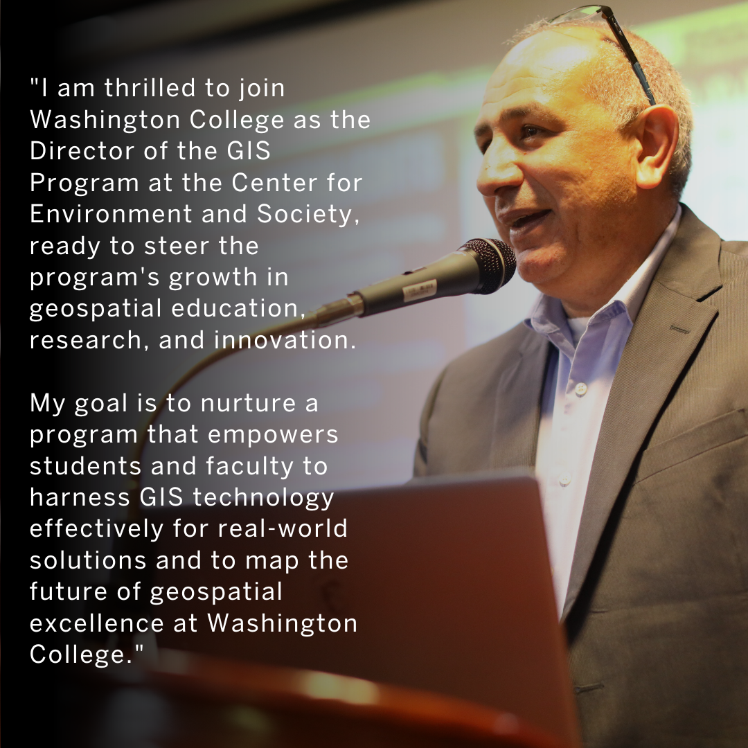
New GIS Program Director, Dr. Tarek Rashed
January 2, 2024
Tarek brings over 30 years of experience in geographic information science and technologies (GIS&T) to the GIS Program within the Center for Environment & Society at Washington College. His work in developing GIS&T and systems thinking technical solutions and frameworks, and their applications spans across incredibly diverse sectors, including disaster risk reduction, health, climate change, community resilience, digital transformation, urban and rural development, supply-chain management, homeland security, sustainable agriculture, and women's empowerment.

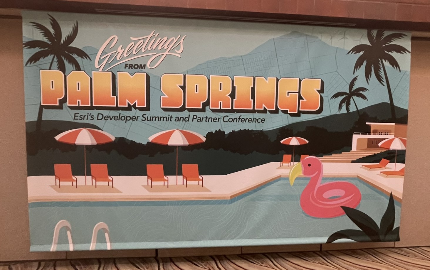
Staff Attended the 2024 Esri Developer Summit
March 11-15, 2024
Palm Springs, CA
Earlier this month, two of our staff members traveled to Palm Springs, California for the annual Esri Developer Summit! This conference, held by the makers of our GIS software, allows our coders and app developers to meet with and learn from the developers working directly on the software we use every day. We're looking forward to sharing these new skills and tips with our students and implementing them into our projects!
Staff Attended the 2024 Esri Federal GIS Conference
February 12-15, 2024
Washington, D.C.
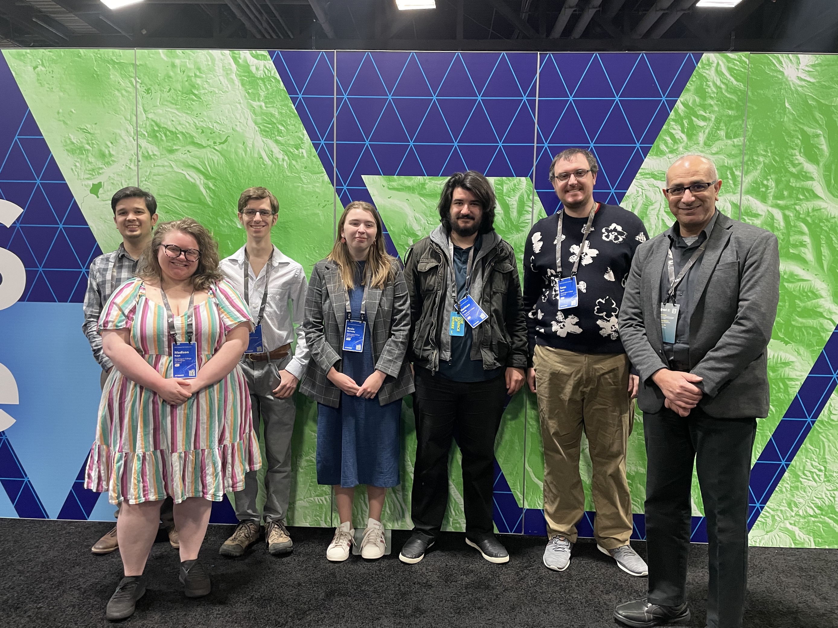
Our staff recently attended the national Esri Federal User Conference in Washington, DC! We learned a lot about new and up-and-coming technology produced by Esri, the leader in GIS software. And we got the chance to reconnect with some GIS Program alumni! Now we're back in the lab to share our new-found knowledge with our students and partners.

Staff Attended the "Surviving the Stop" Traffic Safety Conference
January 27-29, 2024
Hosted by the Maryland Highway Safety Office
This conference was the first of it kind for our partner, the Maryland Highway Safety Office (MHSO). One of the major focuses of MHSO is law enforcement. The Law Enforcement Liaisons (LELs), provided the opportunity to allow the attendee to hear from presenters from local law enforcement agencies and other organizations in the region.

