Data and Migrations
FBBO Recovery Map
Click around the map below to discover where some of our birds have traveled!
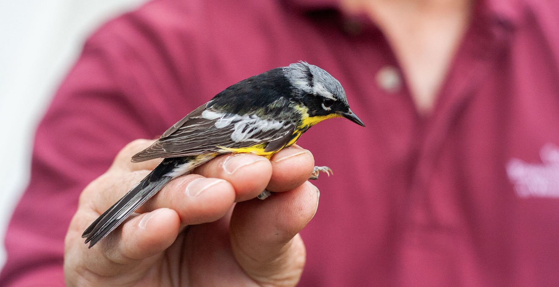
Since its initiation in 1998, Foreman’s Branch Bird Observatory has seen nearly 350 of its birds subsequently encountered after their initial banding; as far north as Newfoundland and a far south as Ecuador! Encounters occur either through trapping a live bird by another banding operation or, most often, recovering a band from a dead bird. If you happen to find a bird with a band on it, be sure to report it to reportband.gov. Who knows, it may make it onto the map below!
Banding Data
Our banding data is now housed on Trektellen where it is updated each day during the banding season. Please visit Trektellen.org On the right hand side of the page there is a link for "last count" which will take you to the most recent day's data. You can move between days from the top of that screen.
Migration Timing
Below you will find timing of migration for birds captured at FBBO between 1999 and 2009. Weather patterns and banding effort (hours with nets open and number of nets) can have huge impacts on capture rates. Many birds breed and/or winter around the banding area, so when looking at the charts keep in mind that the large number of birds caught on August 1st aren’t necessarily migrants, but rather mostly are birds that bred and hatched around the station (e.g. Field Sparrows). Because we start fall banding August 1st we miss the start of migration for several species (e.g. Yellow Warblers andEmpidonaxflycatchers) as they start moving south in July.
Numbers used for the charts below are made up of new birds caught, repeats and returns. The charts below are modeled on those done by Braddock Bay Bird Observatory. Comparisons can be made between the timing of migration by birds at Braddock Bay Bird Observatory in New York and movements of birds here at FBBO.
Banding Charts
- Black and White Warbler
- Black and White Warbler (by sex)
- Prothonotary Warbler
- Worm-eating Warbler
- Blue-winged Warbler
- Blue-winged Warbler (by sex)
- Nashville Warbler
- Nashville Warbler (by sex)
- Orange-crowned Warbler
- Tennessee Warbler
- Tennessee Warbler (by sex)
- Northern Parula
- Northern Parula (by sex)
- Cape May Warbler
- Yellow Warbler
- Yellow Warbler (by sex)
- Black-throated Blue Warbler
- Black-throated Blue Warbler (by sex)
- Myrtle Warbler
- Magnolia Warbler
- Magnolia Warbler (by sex)
- Chestnut-sided Warbler
- Chestnut-sided Warbler (by sex)
- Bay-breasted Warbler
- Blackpoll Warbler
- Blackpoll Warbler (by sex)
- Blackburnian Warbler
- Blackburnian Warbler (by sex)
- Black-throated Green Warbler
- Black-throated Green Warbler (by sex)
- Pine Warbler
- Pine Warbler (by sex)
- Western Palm Warbler
- Yellow Palm Warbler
- Prairie Warbler
- Prairie Warbler (by sex)
- Ovenbird
- Ovenbird (by sex)
- Northern Waterthrush
- Louisiana Waterthrush
- Kentucky Warbler
- Connecticut Warbler
- Connecticut Warbler (by sex)
- Mourning Warbler
- Mourning Warbler (by sex)
- Common Yellowthroat
- Yellow-breasted Chat
- Hooded Warbler
- Wilson’s Warbler
- Wilson’s Warbler (by sex)
- Canada Warbler
- Canada Warbler (by sex)
- American Redstart
- American Redstart (by sex)